



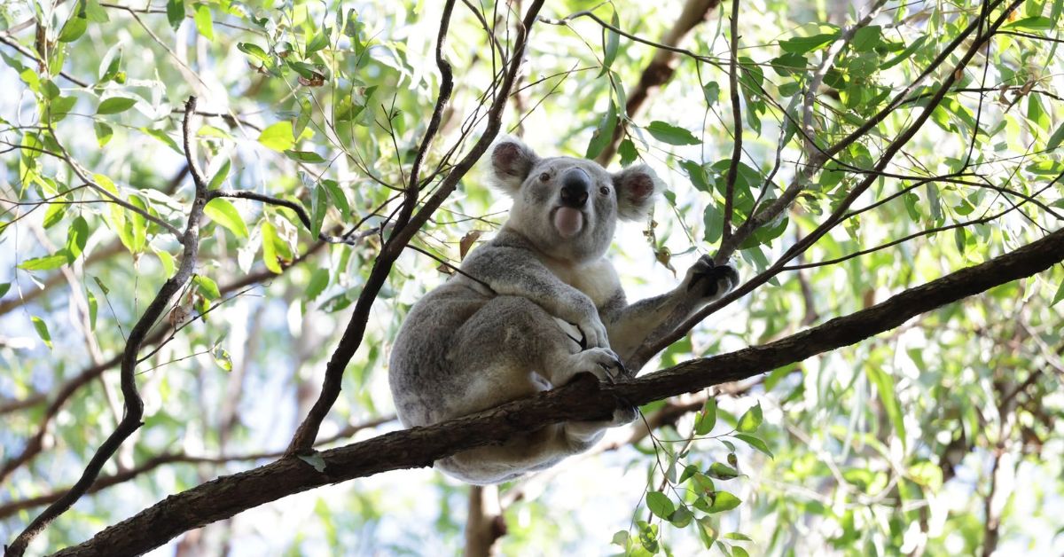
There is an unusual gate along the Moreton Bay Cycleway near Dohles Rocks Road in Kallangur. Unlike an ordinary pathway gate, it has been designed with two very different users in mind: people travelling along the cycleway and koalas moving through the surrounding habitat.
The automated gate forms part of an effort to stop koalas wandering onto the busy road instead of using a purpose-built wildlife underpass nearby. It allows pedestrians and cyclists to continue using the pathway while helping keep wildlife away from traffic.
It might seem an elaborate solution to a simple problem, but the need for additional protection arose despite wildlife fencing and an underpass already being in place. Council has previously identified koalas using the pathway to reach Dohles Rocks Road, creating a risk of wildlife-vehicle collisions.
The gate is one example of how protecting koalas in Kallangur has become a matter of managing the spaces where suburban life and wildlife overlap.
Earlier this year, researchers took that work into the treetops.
The Koalas the Drones Are Looking For
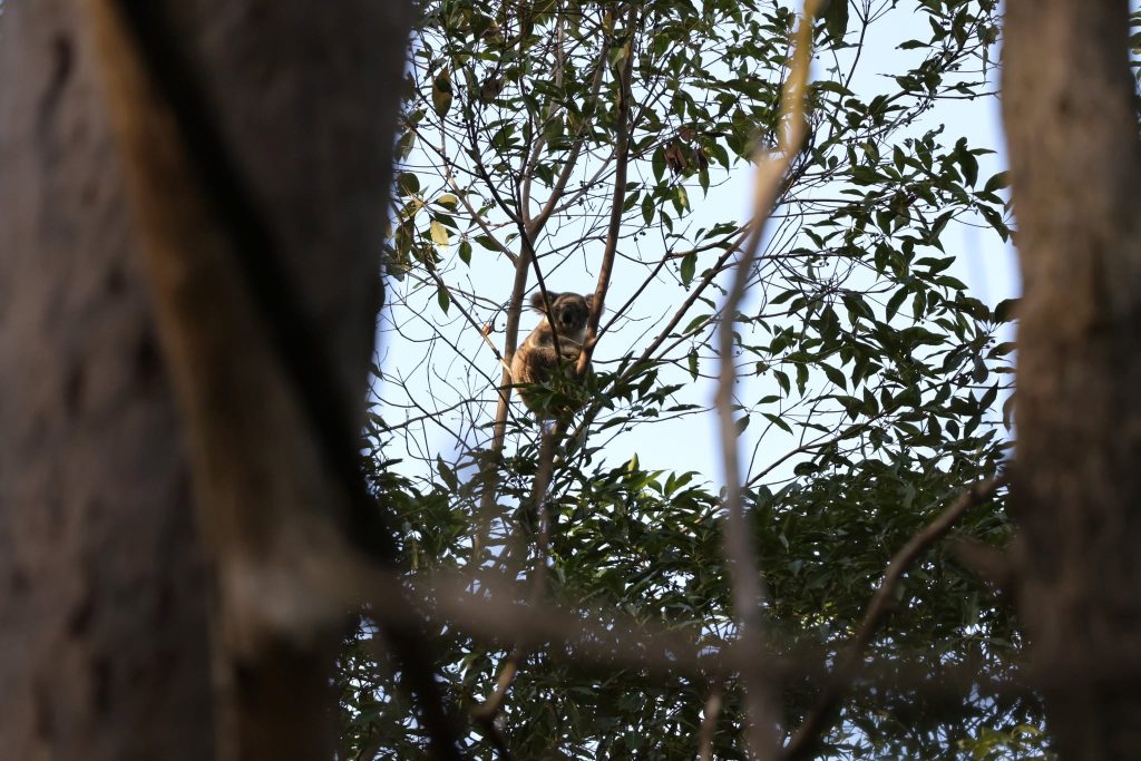
During May and June, thermal-camera drones flew over selected areas of Kallangur and six neighbouring suburbs, searching for koalas that can be remarkably difficult to spot among eucalyptus branches.
The surveys were conducted by City of Moreton Bay and the University of the Sunshine Coast, with flights generally taking place between 10 pm and 5 am.
Rather than relying on ordinary photographs, the cameras picked up differences in temperature between animals and their surroundings. Researchers flew the drones in a systematic pattern over vegetation, looking for heat signatures that might indicate a koala resting in the canopy.
Ground teams and detection dogs supported the aerial work, including collecting koala droppings for analysis. Those samples can provide information about the animals that thermal images alone cannot establish, including aspects of their health and population characteristics.
For Kallangur, the surveys could eventually help answer questions that roadside infrastructure cannot: where koalas are living, which patches of habitat they are using and where future protection efforts might be most useful.
The findings were expected later in 2026, although Kallangur-specific detection figures, survey maps and recommendations have not been identified in the publicly available material reviewed for this article.
A Road Crossing Is Only Part of the Journey
The Dohles Rocks Road gate builds on wildlife protection measures introduced years earlier. Council records identify exclusion fencing and a fauna underpass commissioned in 2016–17, with further fencing considered in 2020 following wildlife-vehicle collisions.
The automated gate adds another layer of protection, helping guide koalas away from the roadway and towards the existing underpass while maintaining access for pedestrians and cyclists.
Council sought community feedback on the initiative in September 2026, providing an opportunity to assess how the arrangement was working in practice.
That feedback process highlights an important aspect of wildlife protection: installing infrastructure is one thing, but understanding how animals actually use it is another.
Beyond the road, the condition of Kallangur’s remaining vegetation is equally important.
At Freshwater Creek Reserve, Council is undertaking a substantial rehabilitation project involving more than 27,000 native plants, including blue gum, swamp box and pink bloodwood. The work is intended to improve habitat, stabilise eroded creek banks and strengthen a 460-metre wildlife corridor between Balstrup Park and Ross Reserve.
The reserve contains mapped core koala habitat and forms part of a designated Koala Priority Area. Its wildlife value extends beyond koalas, with the restoration also intended to benefit birds, flying foxes and other native animals.
Work began in January 2026 and is scheduled to continue until mid-2027. Newly planted trees will take time to establish, making the project’s longer-term success a question of vegetation growth and habitat recovery rather than simply the number planted.
Council has also identified Sylvester Drive among its koala habitat restoration locations, although the current stage and extent of that work have not been independently established.
What the Drones Might Tell Kallangur
The combination of roadside protection, habitat restoration and aerial monitoring reflects the difficulties of conserving wildlife in a suburb where roads and residential development intersect with established vegetation.
A koala may have a safer way beneath Dohles Rocks Road, but its movements are not confined to a single crossing. Suitable feeding trees, connected vegetation and the ability to travel between habitat patches all influence the places it can occupy.
The thermal surveys could help researchers build a clearer picture of those movements and identify areas requiring closer attention. They could also provide evidence to inform future planting, habitat management or wildlife crossings, although no new Kallangur measures can yet be attributed to the survey findings.
For now, the most revealing part of Kallangur’s conservation story may be that an existing wildlife underpass needed an additional gate to encourage koalas to use it.
The drones are another attempt to understand that same challenge: not merely where koalas can be found, but how they are navigating the suburban landscape around them.


Published 12-November-2026


CLICK ANY LOGO TO SEE PUBLICATION