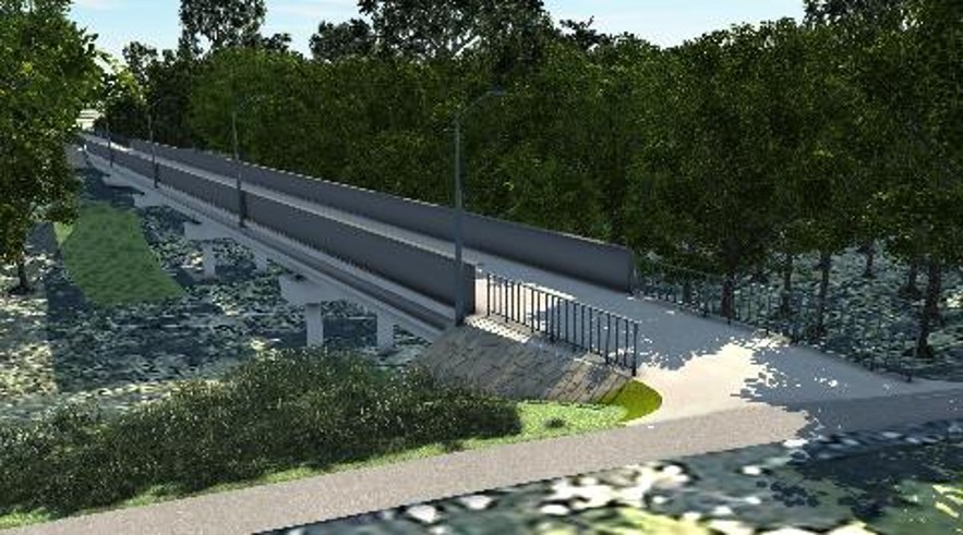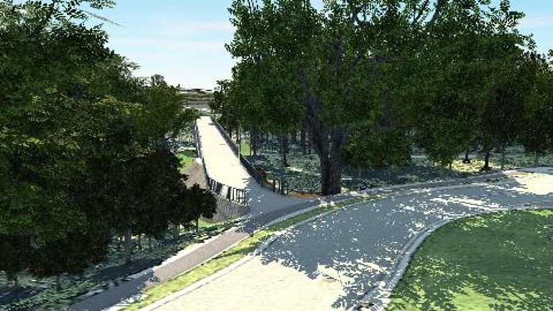




Beneath a railway bridge at Mango Hill, researchers once recorded something easy to miss from the roads above: koalas moving through the landscape.
At least two different animals repeatedly passed beneath the Redcliffe Peninsula rail line along Freshwater Creek, detected by remote telemetry and trail cameras during one of Australia’s most intensive koala-monitoring programs. Koalas were also recorded using the nearby Bruce Highway bridge over the creek.
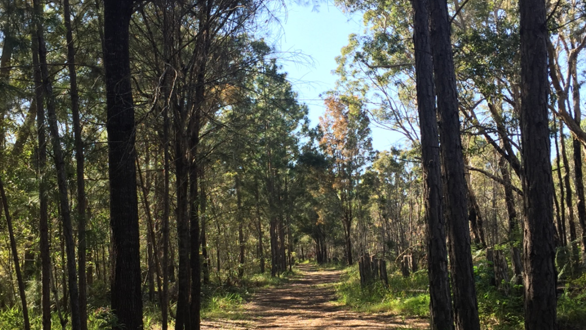
For a place better known for shopping centres, housing estates and busy roads, it is a striking glimpse of another North Lakes — one threaded with creek lines, wetlands and surviving patches of habitat that wildlife is still using.
The important qualification is that this is not one uninterrupted wildlife corridor stretching neatly from North Lakes to Hays Inlet. It is a fragmented network, with some connections still functioning and others squeezed by roads, rail and development.
The Creeks That Survived the Suburbs
Before North Lakes took its present form, much of the roughly 1,000-hectare development area had already been used for grazing and later as a softwood pine plantation. The plantation was harvested in the early 1990s and development of the new town began in 1999.
Yet waterways and vegetation survived within and around that transformation.
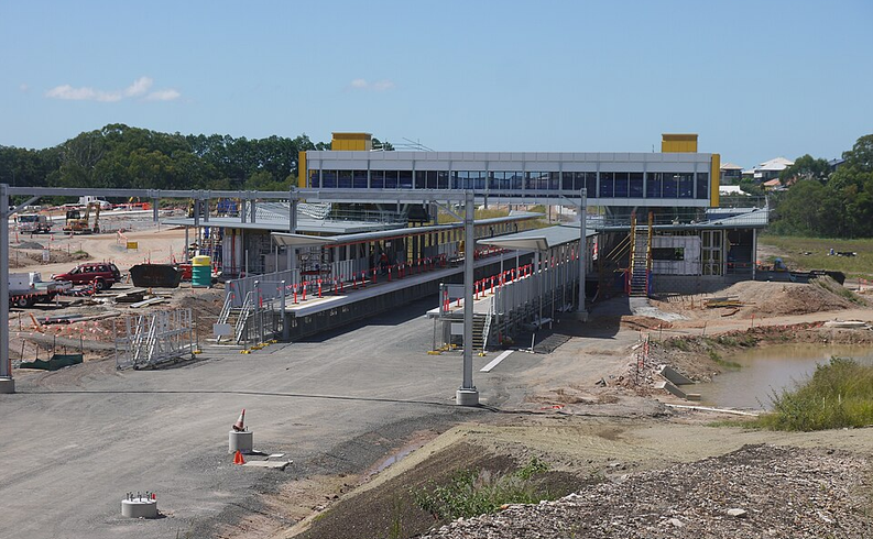
Freshwater Creek is one of the clearest examples. During construction of the rail line, researchers found viable koala habitat concentrated along its paperbark and blue-gum corridor at Mango Hill. The high railway bridge allowed animals to continue passing underneath.
Elsewhere, ecological investigations on the former North Lakes golf course have recorded koala evidence and kangaroos, while identifying a potential fauna connection beneath Bounty Boulevard towards North Lakes Environmental Reserve.
The reserve itself has undergone restoration work. Council reported planting koala habitat trees there as part of more than 4,200 planted across North Lakes Environmental Reserve and another Moreton Bay site in 2016–17.
From Koala Country to an International Wetland
Follow the surviving waterways and habitat east and the landscape changes.
Around Hays Inlet, eucalypt and melaleuca habitat gives way to Casuarina forest, saltmarsh, mangroves and extensive tidal flats. The inlet is part of the internationally important Moreton Bay Ramsar wetland and its declared Fish Habitat Area covers 1,205 hectares.
Its wildlife records show just how much ecological variety lies beside the suburbs.
Hays Inlet Conservation Park records include koalas, eastern grey kangaroos, swamp wallabies and brushtail possums, along with a recorded flying-fox observation. Above them are white-bellied sea-eagles, whistling kites and eastern ospreys.
Then there are the international travellers. Hays Inlet is an important feeding area for migratory shorebirds including the critically endangered eastern curlew, a bird that migrates between Australia and breeding grounds in Russia and China.
Those are Hays Inlet records, not a list of animals living in suburban North Lakes. What connects the two landscapes is the remaining network of vegetation, waterways and habitat patches between them.
Where the Wild Routes Break
The weak points are just as important as the connections.
Anzac Avenue cuts across habitat near Saltwater Creek between the North Lakes/Mango Hill side and Hays Inlet. A previous push for an arboreal crossing for koalas and possums, together with improvements beneath the road, did not win State support at the time, and that particular connection remains unresolved.
There has been movement elsewhere. Current plans for the much larger Bruce Highway upgrade north of North Lakes include underground fauna crossings, showing that wildlife movement is now being incorporated into the design of major transport infrastructure.
North Lakes therefore has no secret wilderness hidden behind the houses. What it has may be more interesting: fragments of an older landscape, some restored and some retained, through which animals are still finding their way.
And in at least one creek corridor beside Mango Hill, researchers have the tracking data to prove it.
Published 26-September-2026